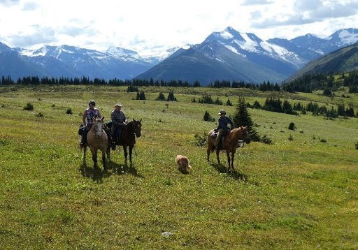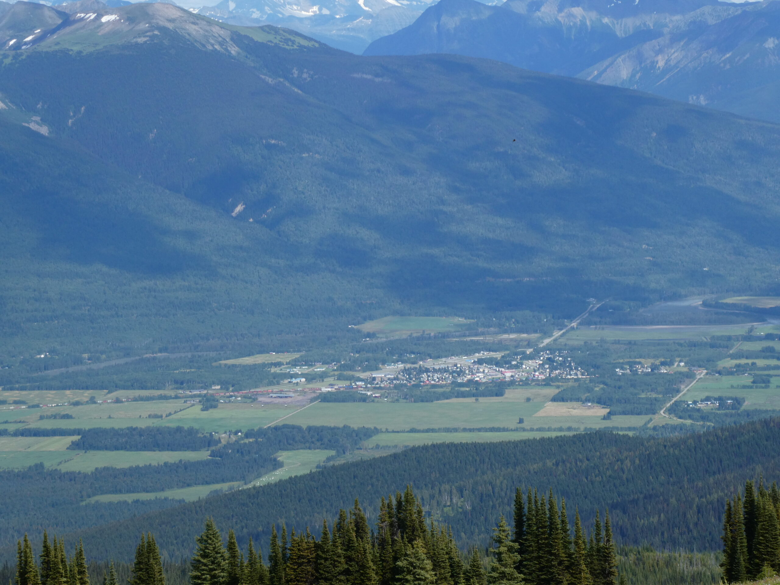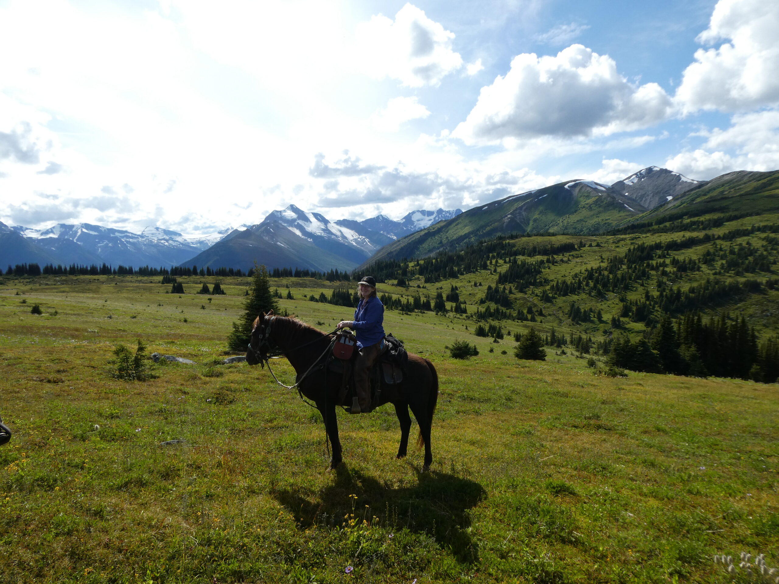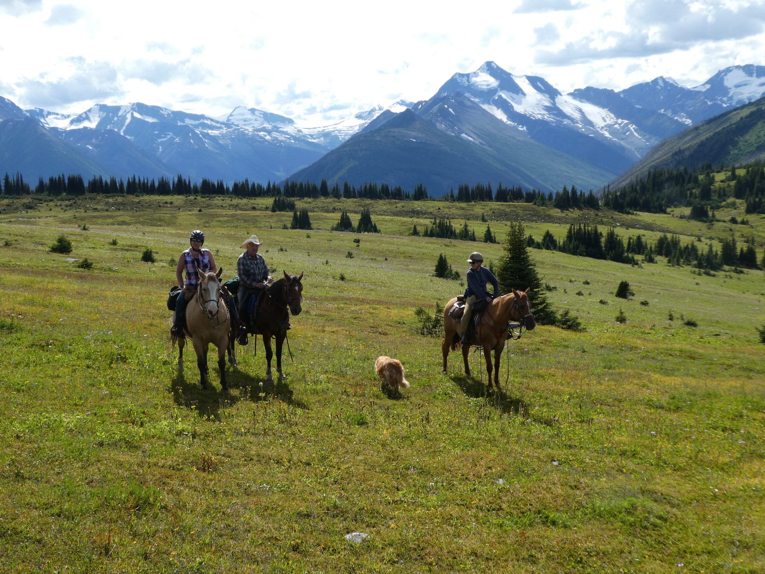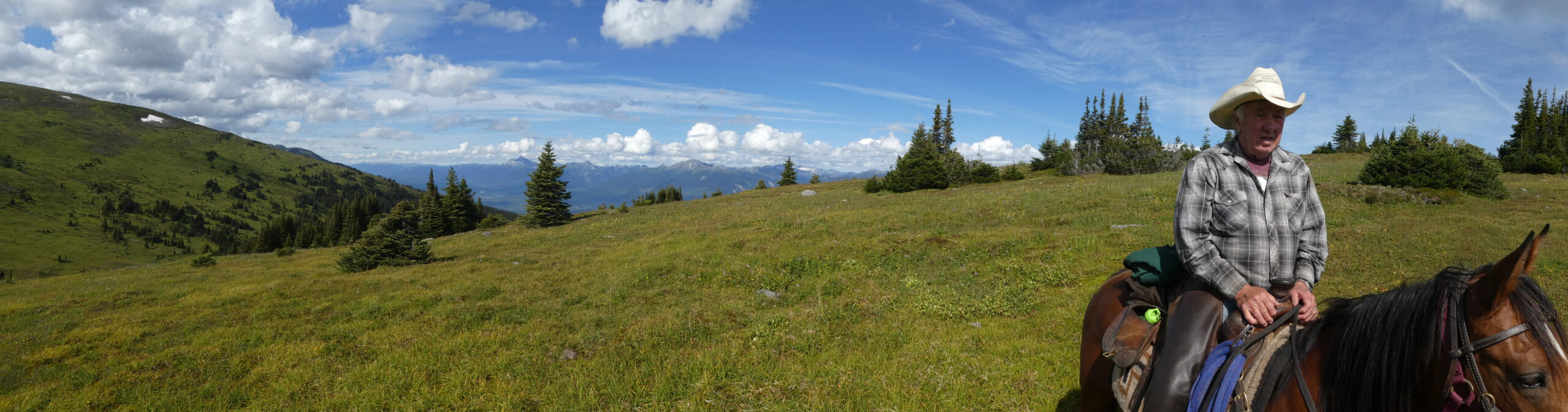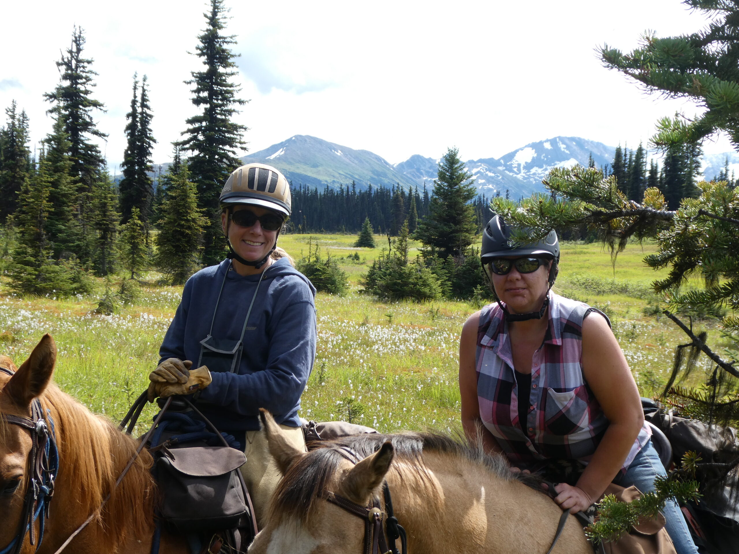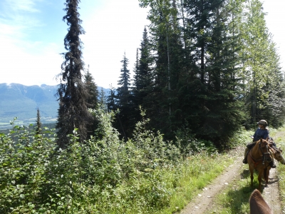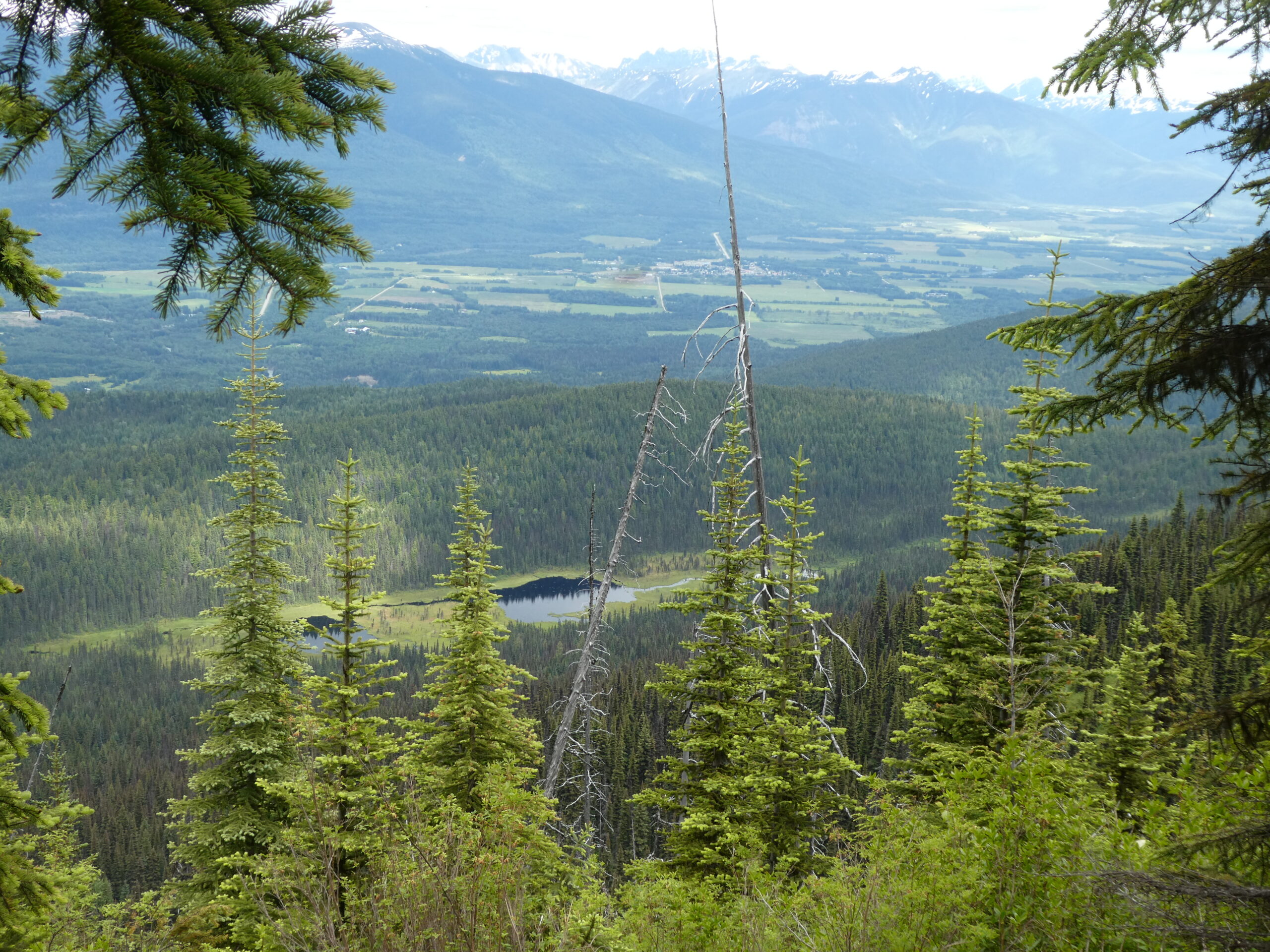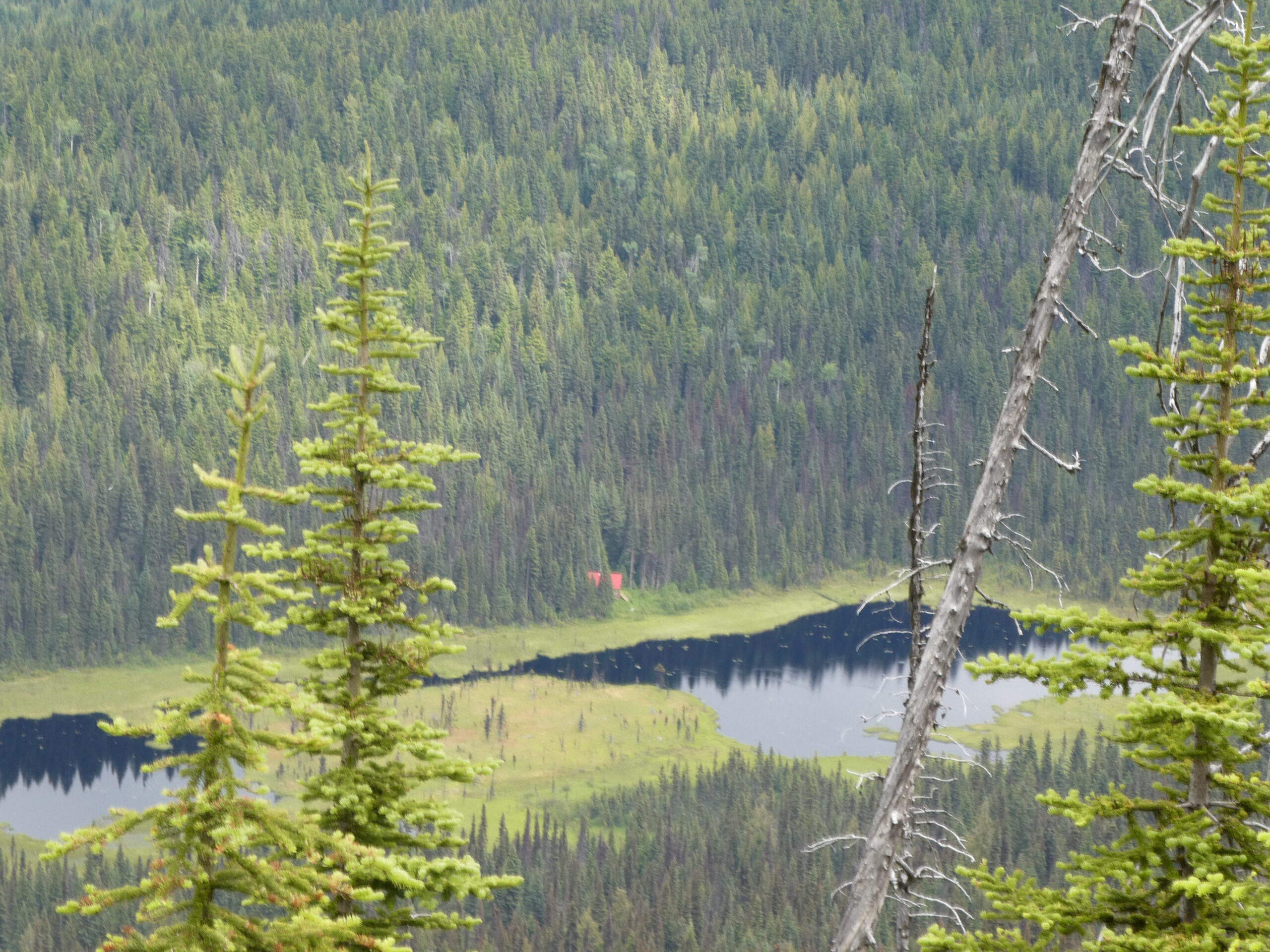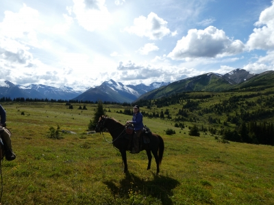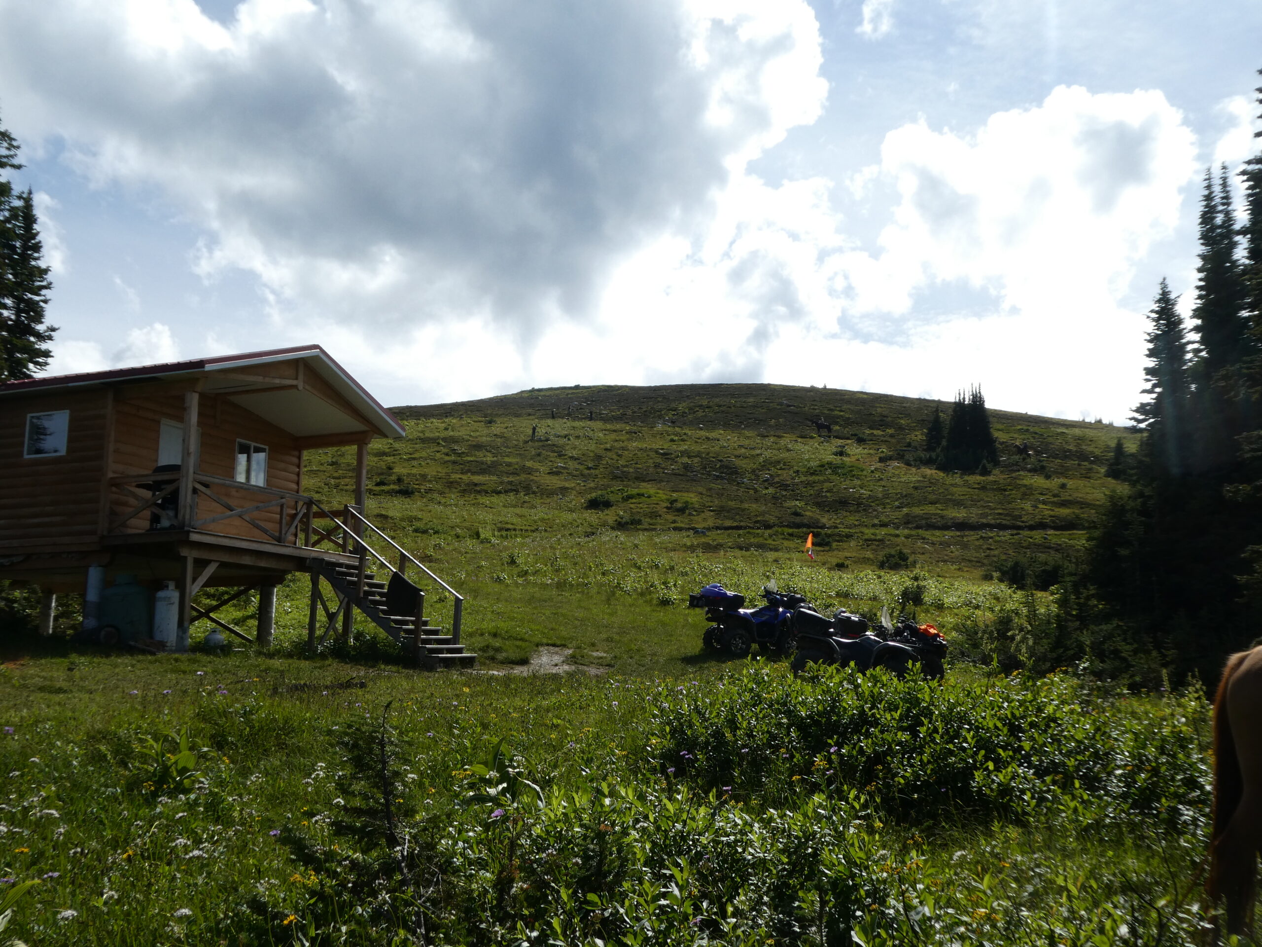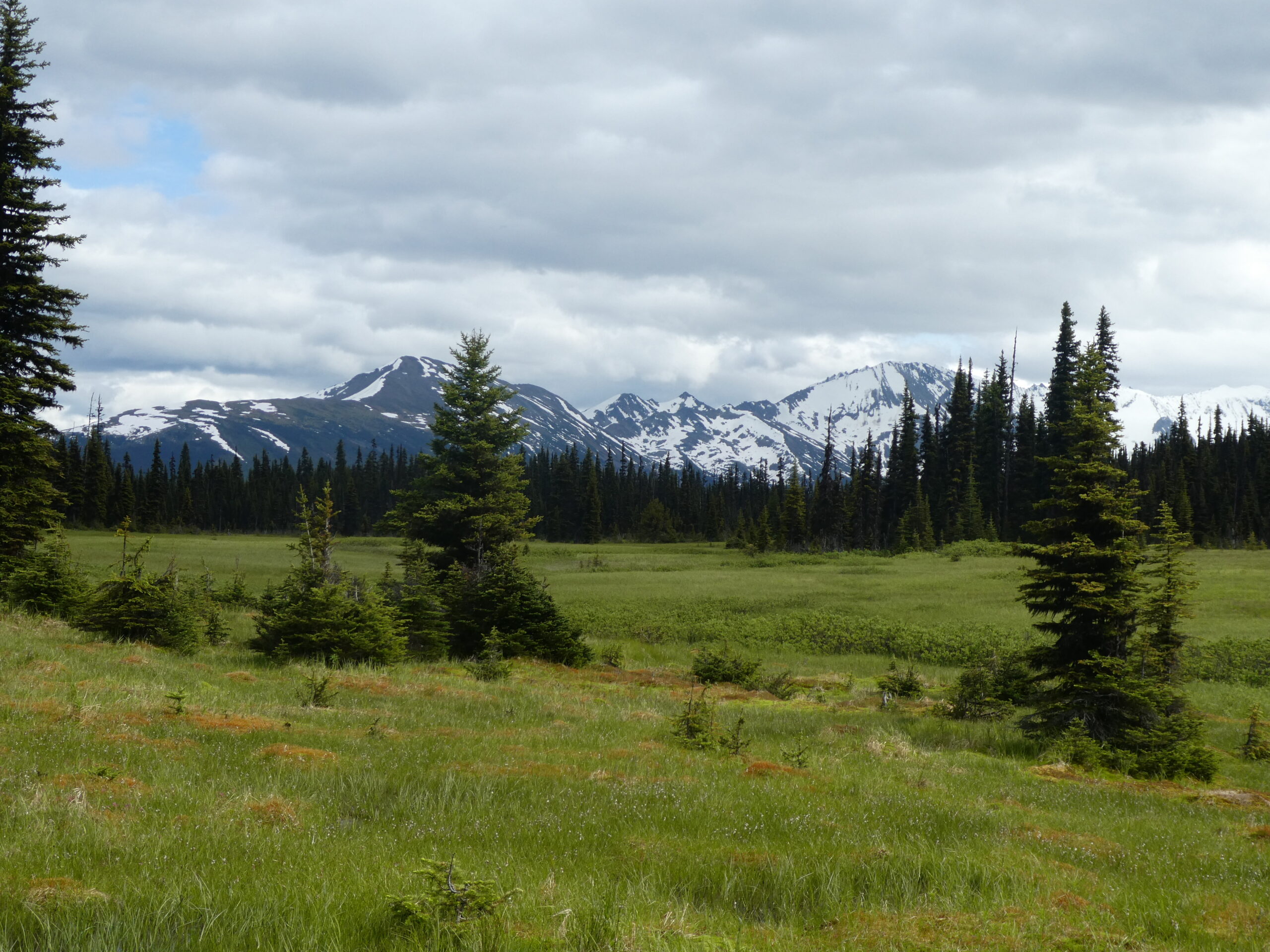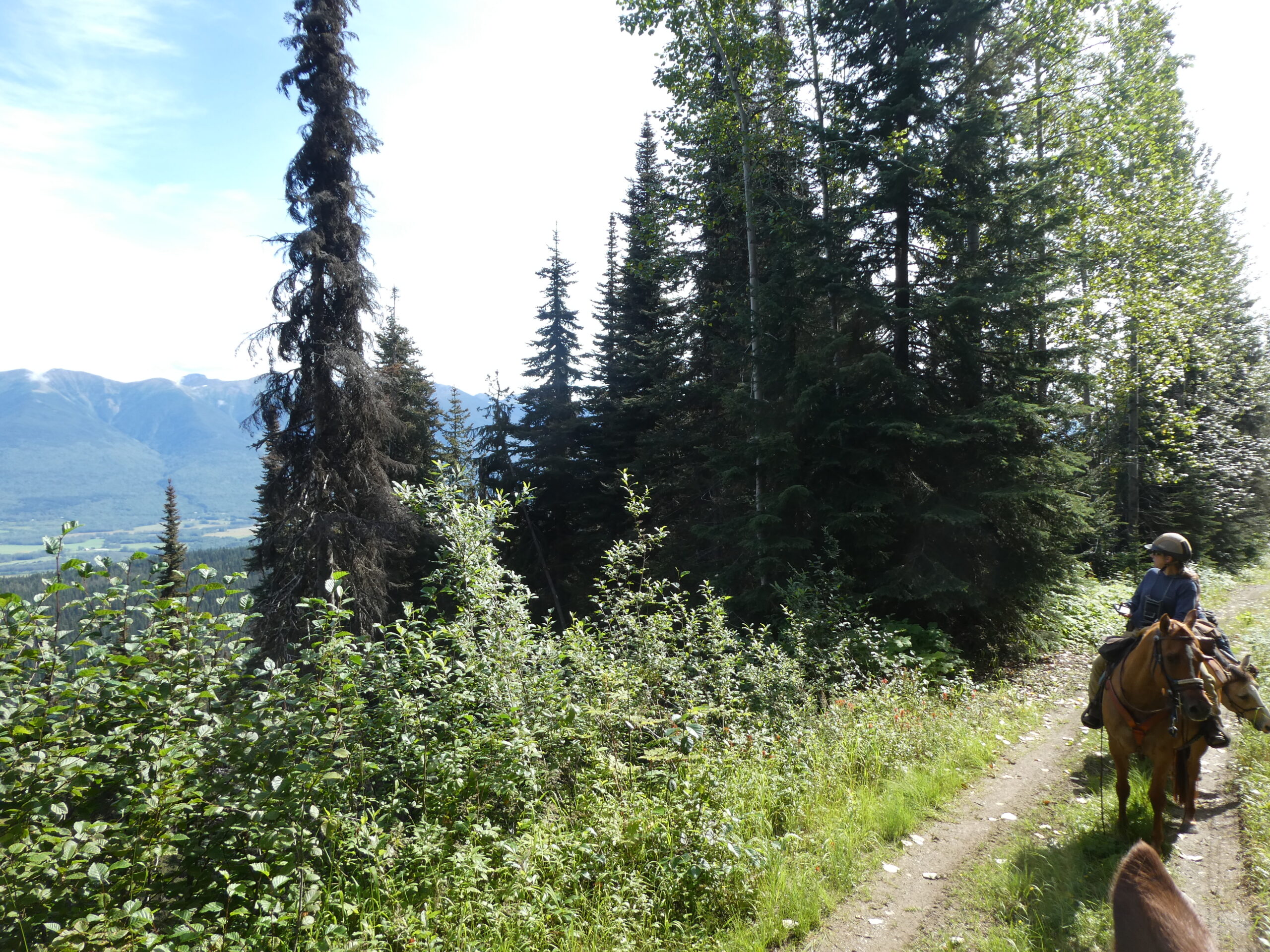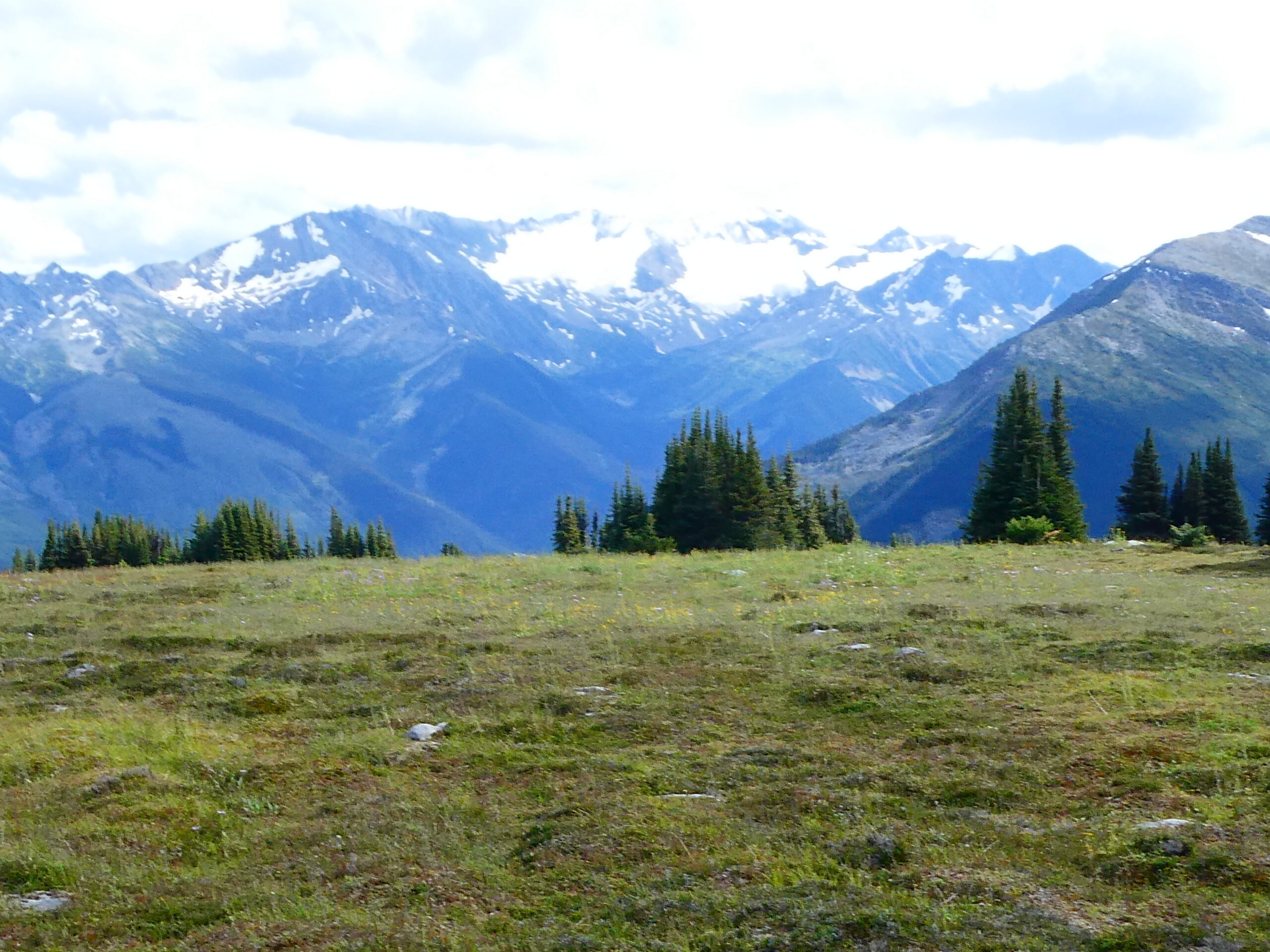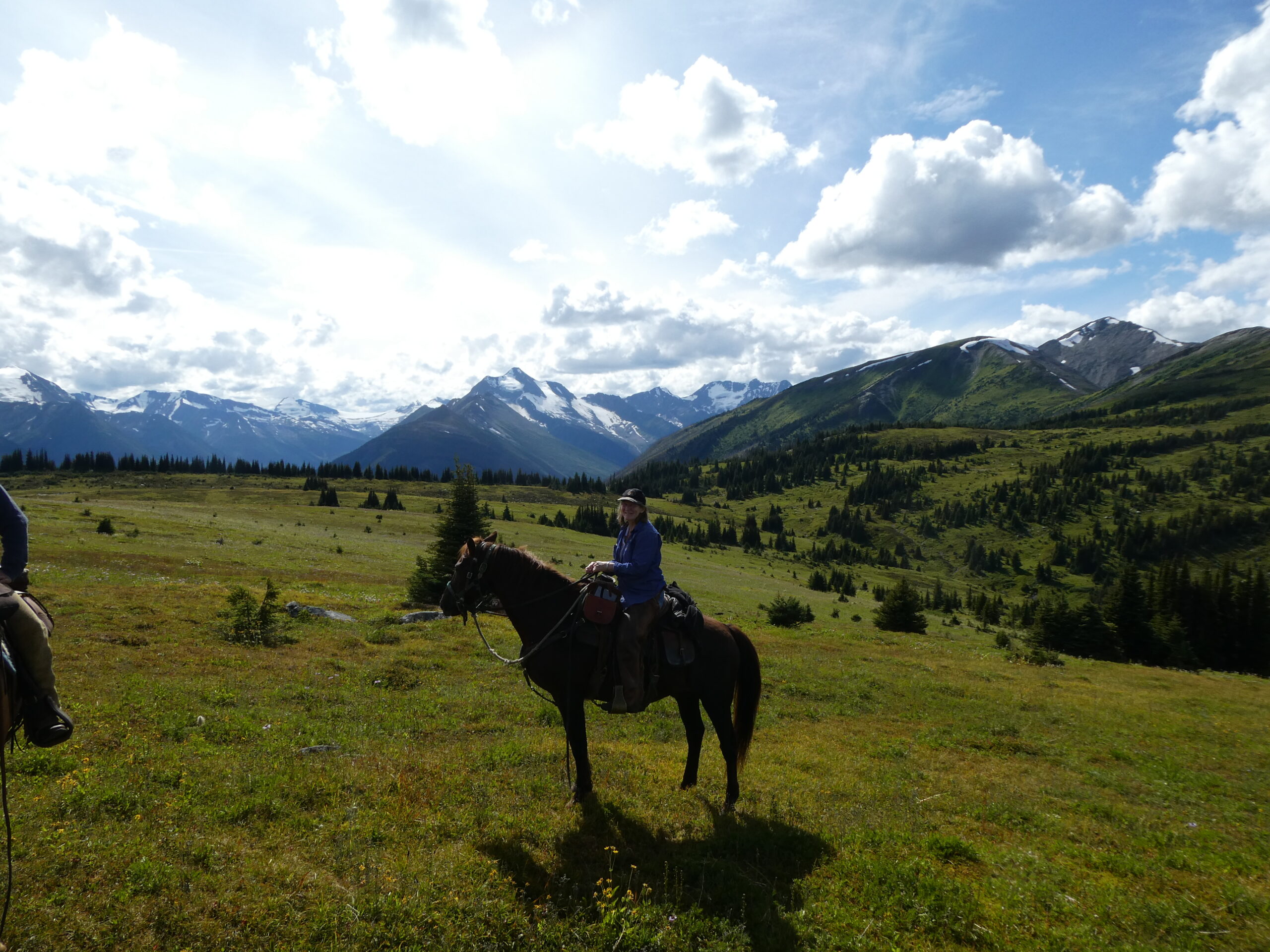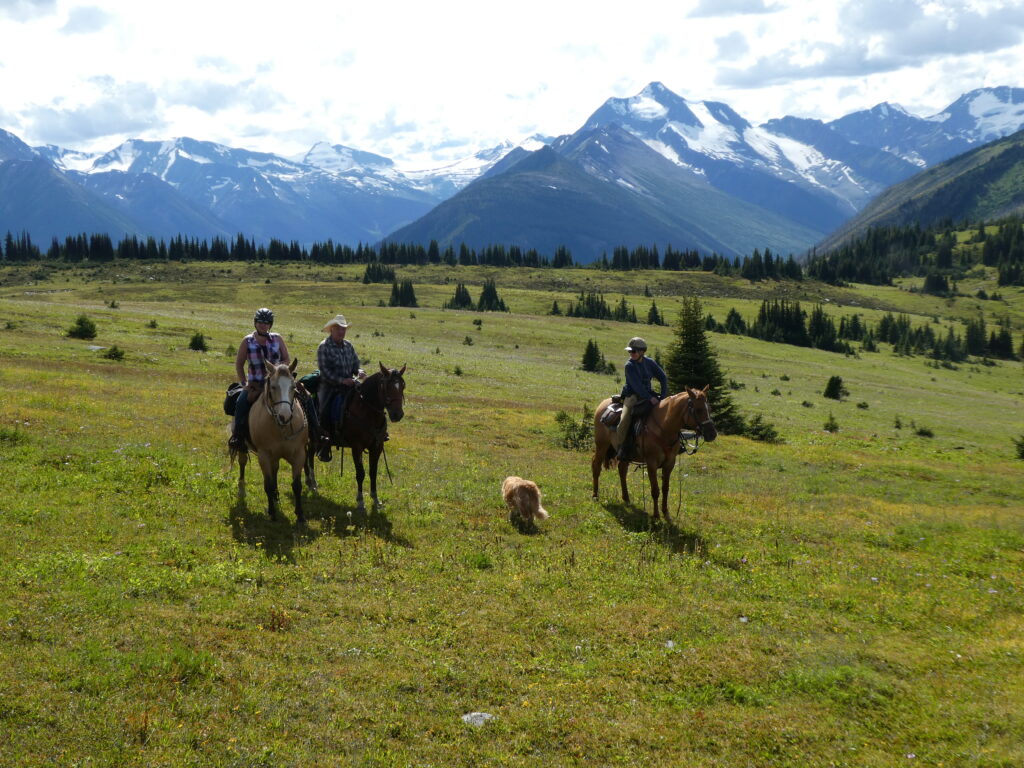
In 2018 the Robson Valley Chapter commissioned the development of a Master Plan for the Belle Mountain area. The primary objectives are: 1) to develop an equine campground & staging area which will provide for overnight use by equestrians and, 2) to improve access to existing multi use trails in the area – providing riding opportunities on existing & new trails, as well as for access to the alpine via several potential routes. The initiative is now underway with logging for the campsite expected by spring of 2021. This is a multi-year initiative and is currently not operational or open to the public, but please read more and you will be appreciative of this exciting BCHBC Project! Revisit this page for more updates as the year progresses.
The alpine routes could include loop trails with the possibility of approximately 30-km loop rides up one trail and down another back to the campground area. The study looked specifically at the existing infrastructure in the Bell Mountain area, generally including the Bell Mountain FSR, the Bell Mountain Ski Trails & the Dore River Ski trails (Yellowhead Ski Club) infrastructure utilized by the McBride Big Country Snowmobile Association, logging roads and cut-blocks developed by the McBride Community Forest Corporation, as well as old roads and trails created by old logging operations in the 1960’s and 1970’s.
The proposed campground would serve equestrians, and would provide overnight camping and function as a destination for both local and non-local riders alike. This campground would meet the needs of equestrians hauling their horses in larger truck/trailer rigs and enable them to have a campground and facilities that would provide overnight camping, water, corrals, a group shelter, pit toilets, manure containment, and be rustic in nature. The existing network of trails would provide riding opportunities in the immediate vicinity, with a network of loops utilizing both the Bell Mountain ski trails (trailheads at 4.5 and 3.0 km Bell Mountain FSR), and a portion of the older Dore River Trails (trailhead at 0 km Dore River FSR). The network could potentially allow equestrians to ride from the campground to McBride, following the connectors & aforementioned network and then Dore River Road, and then via trails along the highway and/or Westlund Road to McBride. Several connector trails from the proposed campground would provide access to 3 locations on the Bell Mountain FSR & to the Clyde Creek trailhead.
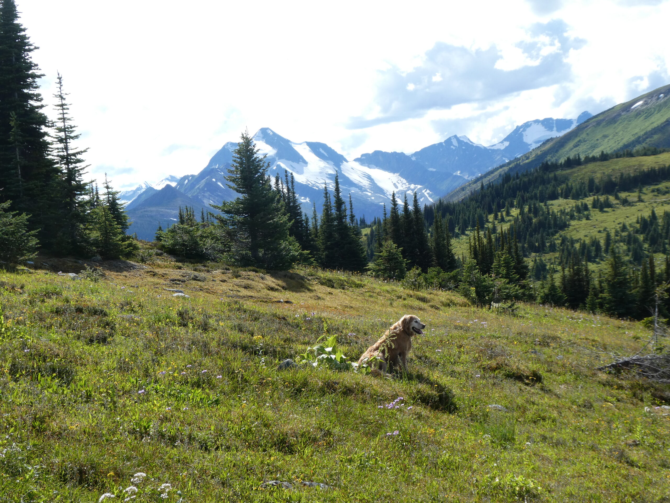
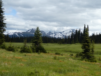
This area also has the potential for access to the Bell Mountain alpine and a section of alpine ridge that extends northwest over to Clyde Pass, within West Twin Provincial Park. Several routes were considered with loop trails, which would provide access for longer loop rides with extensive riding and hiking in the alpine, and along alpine ridges (and in environmentally sensitive areas, access to hiking-only viewpoints). These routes include the old Clyde Pass trail, the McIntosh – Silver Horn Ridge route, the East McIntosh-Bell Mountain, and the Bell Mountain – Silver Horn routes. The peaks along the route include Little Bell, Middle Bell, Big Bell, The Arrowhead, and Silver Horn 1 & 2. Much of the terrain in the McIntosh drainage was IU logged (Intermediate Utilization/Diameter Limit) circa 1960’s. As a result there are dozens (or hundreds) of overgrown trails that were bladed along the contours on these mountain slopes, and several main trails climbed to provide access to higher elevations. Two of the main trails were assessed for suitability to be opened up to the upper elevations of the logging, and then continue with short new trails, proceeding through higher elevation stands to the subalpine and alpine terrain. Or, as was the case with the Valleyview Trail, intersect the Bell Mountain FSR at higher elevations, and then follow the last section of road/trail to the alpine.
Two primary campground locations were considered and assessed. Road access to the campground and road/trail access to the trailheads were assessed as well to determine if upgrades would be required.
As part of this study, all past and present stakeholders that have been involved with Bell Mountain were invited to participate in the process. An announcement was sent out in late April to each stakeholder describing the project and requesting input into the study process. In May, a meeting invitation was sent to all stakeholders as well – scheduled for June 6, 2018. Stakeholders were able to review maps and imagery and discuss progress on the study to date. Representatives from the BCHBC (Robson Valley Chapter), the Regional District Fraser Fort George, Snowshoe Power Ltd., Yellowhead Ski Club, Village of McBride, RSTBC, MDCC, MCFC, Robson Valley Tourism, and the Robson Valley Region Marketing Coordinator attended. The Ozalenka Alpine Club and Robson Valley Mountain Bike Association were invited, but were unable to attend on the scheduled date.
The main focus of the project was to assess the feasibility of expanding equine use with suitable trails, appropriate equine-specific infrastructure, places of interest, view trails, and an equine campground – in the context of a multi-user trail system (for hiking, horse travel, skiing and snowshoeing).
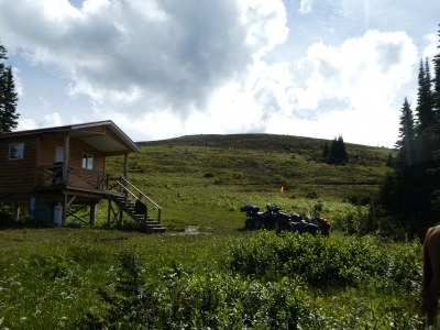
Presently, the trails on Bell Mountain are used primarily for Nordic (cross country) skiing by the Yellowhead Ski Club members and visitors (trails are located in vicinity of 4.5 km, Bell Mountain FSR), snowmobiling (roads and alpine) administered by the McBride Big Country Snowmobile Association (includes the road groomed from 4.5 km to the alpine, and maintenance of an alpine warming cabin), and lesser use by other local and non-local recreationists and tourists including summer hikers, mountain bikers, equestrians, ATV/OHV users, sightseers, and winter alpine skiers, snowboarders, snowshoe enthusiasts (all limited use, mostly in alpine areas). No other recreation uses have been revealed in the study to date. Trapping and some limited hunting occur in the fall. Specialized Forest Management (SFM) utilized accepted industry standards for multi-use trail evaluation and design, and has recommended Best Management Practices (BMP’s) for all proposed trails and associated infrastructure and facilities, appropriate to construction and development of the network with a focus on expanding equine use. See Section 5.6. In developing the Master Plan for this area, all aspects were considered in the context of Provincial Equine initiatives (Horse Council BC, Back Country Horsemen of BC, Trails Strategy BC, etc.) and current trends in equine tourism including trail use and camping. The plan considered local tourism trends and plans for McBride, the Robson and Canoe valleys, as well as communities along the Highway 16 corridor. Essentially, tourism trends indicate that there has been an increase in regional and provincial use by BC residents for non-motorized (and motorized) use of trail and other recreation infrastructure including equestrians. Several studies including the Horse Council BC Equine Industry Study, the JTAC (Joint Trails and Access Committee) Moving Forward Document, and the JTAC Next Steps document all indicate increases in Equine Tourism can be expected in the coming years.